
IMT Kharkhoda Map, Layout & Connectivity Guide for Industrial Plot Buyers
Search “IMT Kharkhoda map” and you’ll find dozens of brochure maps, each one showing a slightly different picture. So, before you trust any of them, it helps to understand the real layout first.
This guide explains IMT Kharkhoda’s actual boundary, the roads that connect it to the wider region, and the nearby industrial hubs you’ll keep seeing on any map of this corridor. We will also cover exactly what to check before you trust a “near IMT Kharkhoda” claim with your money.
Understanding the IMT Kharkhoda Map: Boundaries and Layout
IMT Kharkhoda is not a vague area. It has a defined boundary, set by HSIIDC when the project was planned in 2013.
The estate is bounded by the KMP Expressway to the north and State Highway-18 to the east, with government-purchased land extending to the south and west. HSIIDC acquired roughly 3,217 to 3,306 acres for the project, depending on the source you check.
Within that boundary, the official layout carves out 2,528 industrial plots. More than 1,000 have already been allotted, with Maruti Suzuki and its two-wheeler unit as the major allottees. Therefore, when a map shows “IMT Kharkhoda,” it should be showing this specific, notified area, not a loosely drawn circle around it.
IMT Kharkhoda Master Plan 2031 and the Phase 2 Expansion
The IMT Kharkhoda master plan carves out 2,528 industrial plots on roughly 3,200 acres, and the reported Phase 2 expansion adds further land that is still years from plot allotment. For the “master plan 2031” queries buyers search, the map to trust is HSIIDC’s current published layout, not a decade-old sales brochure.
Phase 2 is in valuation and planning, which is why responsible sellers describe it as a future zone, not ready inventory. To see which villages fall inside that expansion and how it changes the boundary, read our IMT Kharkhoda Phase 2 village list. For the newest allotment and policy shifts, check the latest IMT Kharkhoda updates.
IMT Kharkhoda Official Map: Layout, Boundaries & Key Industrial Landmarks
The map below highlights the official IMT Kharkhoda industrial estate boundary, KMP Expressway, State Highway-18, Maruti Suzuki plant, nearby industrial hubs, and key connectivity routes. Buyers can use this map to distinguish between plots inside the notified IMT boundary and locations marketed as “near IMT Kharkhoda.
Where Is the Maruti Suzuki Plant on the IMT Kharkhoda Map?
Maruti Suzuki’s plant sits inside the notified IMT Kharkhoda boundary, on roughly 900 acres shared between the car plant and Suzuki’s two-wheeler unit. On a correct map, it appears inside the estate near the eastern side, along State Highway-18.
Production began in February 2025, and a second line went live in May 2026, so the plant now makes about 5 lakh vehicles a year. For the full production timeline and supplier landscape, see our dedicated Maruti Suzuki Kharkhoda plant location profile.
When a listing map marks the plant but leaves out the estate boundary, treat it the way this guide treats “near”: verify the exact position, then decide.
Major Roads and Expressways That Define IMT Kharkhoda’s Connectivity
Connectivity is the whole reason this location matters. So, here is exactly what links IMT Kharkhoda to the wider region.
The Kundli-Manesar-Palwal Expressway, also called the Western Peripheral Expressway, runs directly past Kharkhoda town, just 1 kilometre away. This 135.6-kilometre, six-lane expressway forms a ring around Delhi’s western side, with ten toll points running north to south: Kundli, Kharkhoda, Bahadurgarh, Badli, Farrukhnagar, Panchgaon, Manesar, Taoru, Sohna, and Palwal.
This sequencing matters. IMT Kharkhoda sits at the second toll point from the northern end, right after Kundli. As a result, it connects quickly to NH-44 near Kundli, and further down the same expressway to NH-10 at Bahadurgarh and NH-8 at Manesar.
Meanwhile, the Delhi-Amritsar-Katra Expressway runs just 5 kilometres from Kharkhoda town, adding a second high-speed corridor through the same belt. Also, Sonepat Railway Station sits about 18 kilometres away, and Delhi’s IGI Airport is roughly 65 kilometres by road.
IMT Kharkhoda Distance From Delhi and Other Cities: Driving Distances & Routes
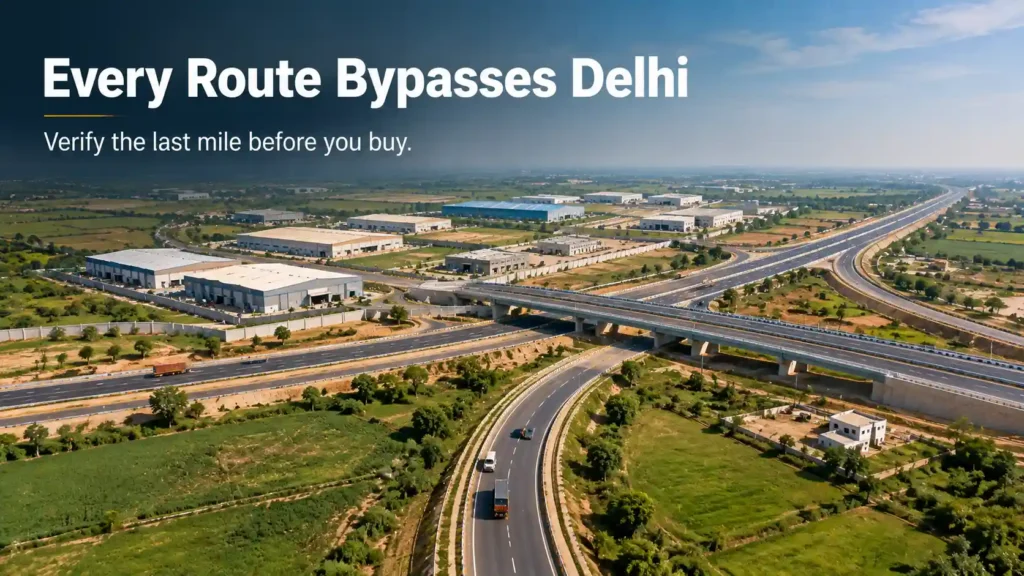
IMT Kharkhoda sits roughly 65 kilometres from Delhi’s IGI Airport, about 12 kilometres from Kundli, and about 70 kilometres from IMT Manesar by road. Every route below relies on the KMP Expressway connectivity via the Kharkhoda toll, so none of them pass through central Delhi traffic.
| Origin / route | Approx distance by road | Main route |
| Delhi (IGI Airport) | ~65 km | KMP Expressway + NH-8 |
| Rohini (Sector 10) | ~48 km | KMP Expressway via Auchandi border |
| Kundli (NH-44 side) | ~12 km | KMP Expressway, Kundli → Kharkhoda toll |
| Sonipat | ~18 km | State Highway-18 |
| Bahadurgarh | ~30 km | KMP Expressway southbound |
| Farrukhnagar | ~42 km | KMP Expressway |
| Badli (Jhajjar) | ~30 km | KMP Expressway via Badli toll |
| IMT Manesar | ~70 km | KMP Expressway southbound |
| IMT Sohna | ~75 km | KMP Expressway to Sohna |
| Gurugram | ~78 km | KMP Expressway + Southern Peripheral Road |
These distances are planning figures for route choice, not engineering data. Before any site visit, verify your exact route on a satellite map tool, because the last stretch to a specific plot depends on the village road, not the expressway.
When you search “kharkhoda distance from my location”, the answer changes with the origin. From Rohini it is roughly 48 kilometres; from Gurugram, closer to 78. Before paying a “near IMT” premium, always compare industrial plots near Delhi NCR using real driving time, not a straight-line number.
Also, the Kharkhoda bypass road around the town carries local traffic and connects the village lanes to the Kharkhoda toll. A plot’s usable access depends on which side of that bypass it actually sits, so a map that skips the bypass is hiding something.
Nearby Industrial Hubs You’ll See on the Map
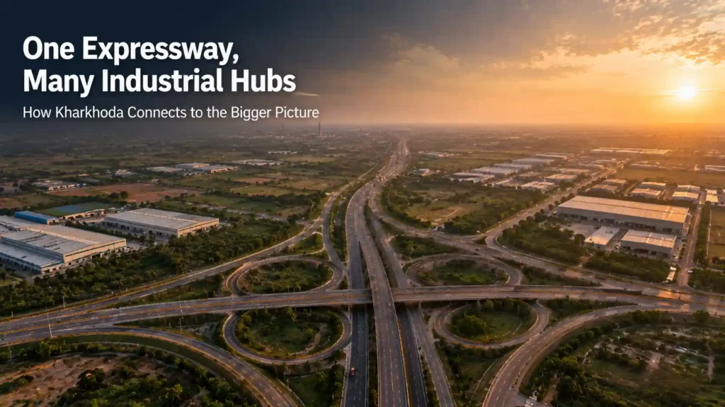
IMT Kharkhoda does not sit in isolation. It is one node on a connected industrial spine, and recognising the others helps you read any map correctly.
Kundli, just north along the KMP Expressway, hosts IMT Kundli and is part of the Amritsar-Delhi-Kolkata Industrial Corridor. Bahadurgarh Industrial Area sits a few toll points south and has grown into a significant manufacturing base in its own right.
Further along the same expressway, IMT Manesar remains one of Haryana’s most established industrial hubs, while IMT Sohna has emerged as a newer electronics manufacturing cluster. Reliance MET City, also along this corridor, adds a large integrated industrial township to the mix.
So, when you see any of these names mentioned alongside IMT Kharkhoda, understand that they are genuinely connected through the same expressway spine, not just listed together for SEO purposes.
How to Read the IMT Kharkhoda Map as a Plot Buyer
Most confusion around this topic comes from one word: “near.” Therefore, learning to read that word correctly changes how you evaluate every listing.
A plot genuinely inside HSIIDC’s notified boundary is a different asset than a plot in a surrounding village that simply markets itself as “near IMT Kharkhoda.” Both can be reasonable investments, but they are not interchangeable, and a map alone often blurs that distinction.
How to Reach IMT Kharkhoda by Metro, Rail, or Road
There is no direct metro to IMT Kharkhoda yet. The nearest practical stations are Samaypur Badli and Rithala on Delhi’s Yellow and Red lines, roughly 30 kilometres from the estate, so most buyers and workers reach Kharkhoda by car or bus via the KMP Expressway.
Sonipat Railway Station sits about 18 kilometres away for passenger rail, and State Highway-18 handles most local traffic. As a result, road access decides the daily commute more than rail does. The three main clusters of this corridor — Kharkhoda, Rai, and Kundli — are compared in our Sonipat industrial zones guide, so you can weigh Kharkhoda’s reach against its neighbours before choosing.
So, the first question for any map is simple: does this plot sit inside the official boundary, or just somewhere within a marketing radius drawn around it? The second question follows naturally: which toll point or interchange is this plot actually closest to, in real driving terms?
What to Check When Viewing Any IMT Kharkhoda Map or Layout
Red Flags That Show Up on a Map (or Don’t)
Some maps hide more than they show. A brochure map without a scale bar makes every distance look shorter than it is. Similarly, a map that skips drains, low-lying patches, or unrelated land between the plot and the highlighted landmark can quietly mislead you.
Also, watch for listings that show an expansion zone, like the reported Phase 2 area, as though it is already plotted and ready for allotment. Furthermore, a claim like “5 minutes from the Maruti plant” means very little without knowing whether that route runs on a village lane or a proper state highway.
How to Verify a Map Claim Before You Buy
Start with HSIIDC’s official layout plan, available on its website, as your baseline truth. Next, open a satellite map tool and trace the actual route yourself, rather than trusting a brochure’s straight-line distance claim.
Also, cross-check the khasra and murabba revenue numbers quoted for the plot against the location being marketed. Finally, where possible, visit the site directly or have someone you trust verify it on the ground before you commit any money.
Location Evaluation: Turning Map Knowledge Into an Investment Decision
Once you can read a map correctly, evaluating a location becomes far simpler. Ask four things: Is the plot inside the official boundary or just nearby? What is the actual road class connecting it to the highway? How far is it, in real driving time, from the nearest toll point and from the anchor industry itself? And does the title and revenue record match what the map shows?
Sisana, for example, holds up well against this exact framework. It sits inside the established Sonipat-side Kharkhoda belt, roughly 15 minutes from the Maruti Suzuki plant by a real, verifiable road, not a marketing estimate.
How RS Group Realty Helps You Read the Map Right
RS Group Realty starts every conversation with the same question this guide just walked you through: what does the map actually show, and what does it leave out?
Therefore, before recommending any plot, the team verifies its position against the official layout, the real road network, and the revenue records, not just a brochure radius. This protects buyers from paying a premium for a location claim that doesn’t hold up.
If you’d like to see a location that passes this exact verification test, explore our IMT Kharkhoda industrial plots page and the Sisana location page for full details.
Frequently Asked Questions About the IMT Kharkhoda Map
Q1. What is the official map of IMT Kharkhoda? HSIIDC’s official layout plan defines IMT Kharkhoda’s boundary as bounded by the KMP Expressway to the north and State Highway-18 to the east, covering roughly 3,200 to 3,300 acres with 2,528 planned industrial plots.
Q2. Which expressway runs along IMT Kharkhoda? The Kundli-Manesar-Palwal (KMP) Expressway, also called the Western Peripheral Expressway, runs just 1 kilometre from Kharkhoda town and forms the estate’s northern boundary.
Q3. How far is IMT Kharkhoda from Delhi? IMT Kharkhoda sits roughly 65 kilometres from Delhi’s IGI Airport by road, with the KMP Expressway providing a direct bypass route that avoids central Delhi traffic.
Q4. What are the nearby industrial hubs to IMT Kharkhoda? Kundli, Bahadurgarh, IMT Manesar, IMT Sohna, and Reliance MET City all sit along the same KMP Expressway corridor, connected to IMT Kharkhoda through the same road network.
Q5. Is Sisana inside the official IMT Kharkhoda map? Sisana sits within the established Sonipat-side Kharkhoda industrial belt, near but outside HSIIDC’s specific notified IMT Kharkhoda boundary, while still benefiting from the same anchor ecosystem and road network.
Q6. How do I verify a distance claim near IMT Kharkhoda? Check the route on a satellite map tool, confirm the actual road class involved, and compare the claim against HSIIDC’s official layout plan rather than relying on a brochure’s straight-line estimate.
Q7. What should I check on a private project’s location map? Confirm whether the project sits inside the official HSIIDC boundary or just within a marketing radius, verify the scale and road class shown, and cross-check the khasra and murabba revenue numbers.
Q8. Where can I find the official HSIIDC layout plan for IMT Kharkhoda? HSIIDC publishes layout plans and project details directly on its official website, which should serve as the baseline source before trusting any third-party map.
Q9. Does IMT Kharkhoda connect to other expressways besides KMP? Yes. The Delhi-Amritsar-Katra Expressway runs about 5 kilometres from Kharkhoda town, adding a second high-speed corridor alongside the KMP Expressway.
Q10. Why does road width matter more than expressway proximity? A plot near an expressway is only as accessible as its actual connecting road allows. A narrow village lane leading to a highway limits heavy-vehicle movement far more than the expressway distance alone suggests.
